Airport Information Board

LECO – A Coruña Airport, A Coruña, Galicia, Spain

ICAO: LECO
SimFly category: 4
Pilot payout: 60%
Location: Northwest Galicia, Spain – close to the Atlantic coast and the city of A Coruña – View on Google Maps
Runway(s):
03/21 – 7,218 ft × 148 ft / 2,200 m × 45 m, Asphalt
Elevation: 326 ft / 99 m MSL

Flightsim.to: Freeware scenery available – enhanced taxiways, lighting, and terminal
MSFS payware scenery: TDM Scenery Design – Highly detailed with PBR textures, accurate terminal modeling, ground markings, and surroundings

1 Like

GMTN – Sania Ramel Airport, Tetouan, Tangier-Tetouan-Al Hoceima, Morocco

ICAO: GMTN
SimFly category: 2
Pilot payout: 20%
Location: Northeast of Morocco is located in the city of Tetouan, serving the the region of Tanger-Tetouan-Al Hoceima. It is the closest airport to the Spanish city of Ceuta
**Runway(s): **
06/24 – 7,546 ft × 148 ft / 2,300 m × 45 m, Asphalt RNP-RNAV approach
07/25 - 10,794 ft x 148 ft / 3,290 m 45 m, Asphalt ILS approach
Elevation: 10 ft / 3 m MSL

Flightsim.to: Freeware scenery available – enhanced taxiways, lighting, and terminal
https://it.flightsim.to/file/58289/sania-ramel-airport-morocco-gmtn

Introduction:
Sania Ramel was the first military airfield built in the Spanish Protectorate of Morocco. In 1957 became a civilian airport serving the city of Tetouan.
The airport has a new runway (07/25) as part of a significant modernization project that also includes a new terminal and control tower. The new runway is designed to accomadate larger aircraft and increase flight capacity, which will enhance the airport’s operational efficiency and help boost tourism and the economy in the region. The old paved runway is laid out in the direction 06/24 and can receive aircraft up to the size of a Boeing 737-800 or Airbus A320. The airport offers various navigation aids.

1 Like

VTUD – Udon Thani International Airport, Udon Thani, Thailand

ICAO: VTUD
SimFly category: 3
Pilot payout: 60%
Location: Northeastern Thailand, about 450 km northeast of Bangkok
Runway(s):
12/30, 10,000 ft × 148 ft / 3,048 m × 45 m
Elevation: 579 ft / 176 m

Flightsim.to: Udon Thani Airport Enhancement
MSFS payware scenery: SIMMAN Udon Thani International Airport (detailed terminal interior, military wing 23 area, realistic markings).
iniBuilds store: SIMMAN Udon Thani International Airport
XPlane gateway scenery: VTUD Udon Thani International Airport

Introduction:
Udon Thani International (VTUD / UTH) is the busiest airport in northeast for domestic commercial liners and serves as the main gateway to Thailand’s northeast Isan region and doubles as a Royal Thai Air Force base home to Wing 23 and Alpha Jet operations.
Approaches can be challenging at sunrise with hot, hazy conditions and occasional dust storms.

2 Likes

RKPC – Jeju International Airport, Jeju City, South Korea

ICAO: RKPC
SimFly category: 4
Pilot payout: 60%
Location: Jeju Island
Runway(s):
07/25, 10,433 ft × 148 ft / 3,180 m × 45 m
13/31, 6,266 ft × (approx.) 62 ft / 1,910 m × 19 m (For light aircraft)
Elevation: 118 ft / 36 m

Flightsim.to: MSFS freeware RKPC scenery
MSFS payware scenery: DominicDesignTeam RKPC Advanced Scenery (simmarket), SamScene3D RKPC Detailed Airport (flightsim.to/payware), Fly2 RKPC Jeju Int Airport.
XPlane gateway scenery: X-Plane Gateway entry for RKPC (free download)

Introduction:
Jeju International Airport, the second busiest airport in South Korea after Incheon, is a vibrant hub serving both domestic ferry routes and international destinations like China, Japan, and Southeast Asia.
On approach, you’ll be treated to sweeping views of coastal terrain, city landmarks, and the iconic Dream Tower hotel if using recent MSFS & XPlane sceneries.

2 Likes

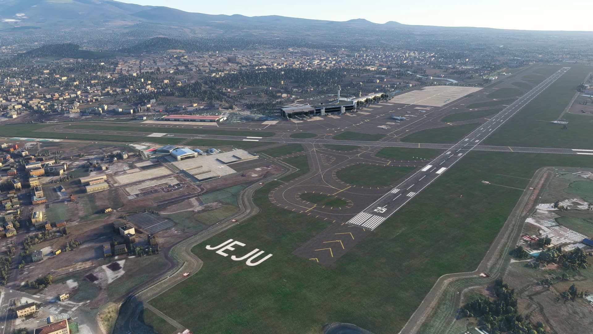
FSIA - Seychelles International Airport, Victoia/Seychelles, Seychelles

ICAO: FSIA
IATA: SEZ
SimFly category: 4
Pilot payout: 60%
Location: Seychelles / Google: Google Maps

Runway(s):
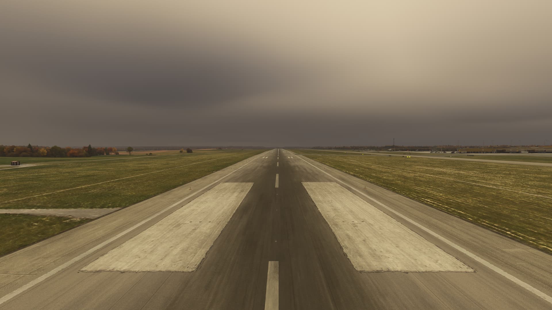
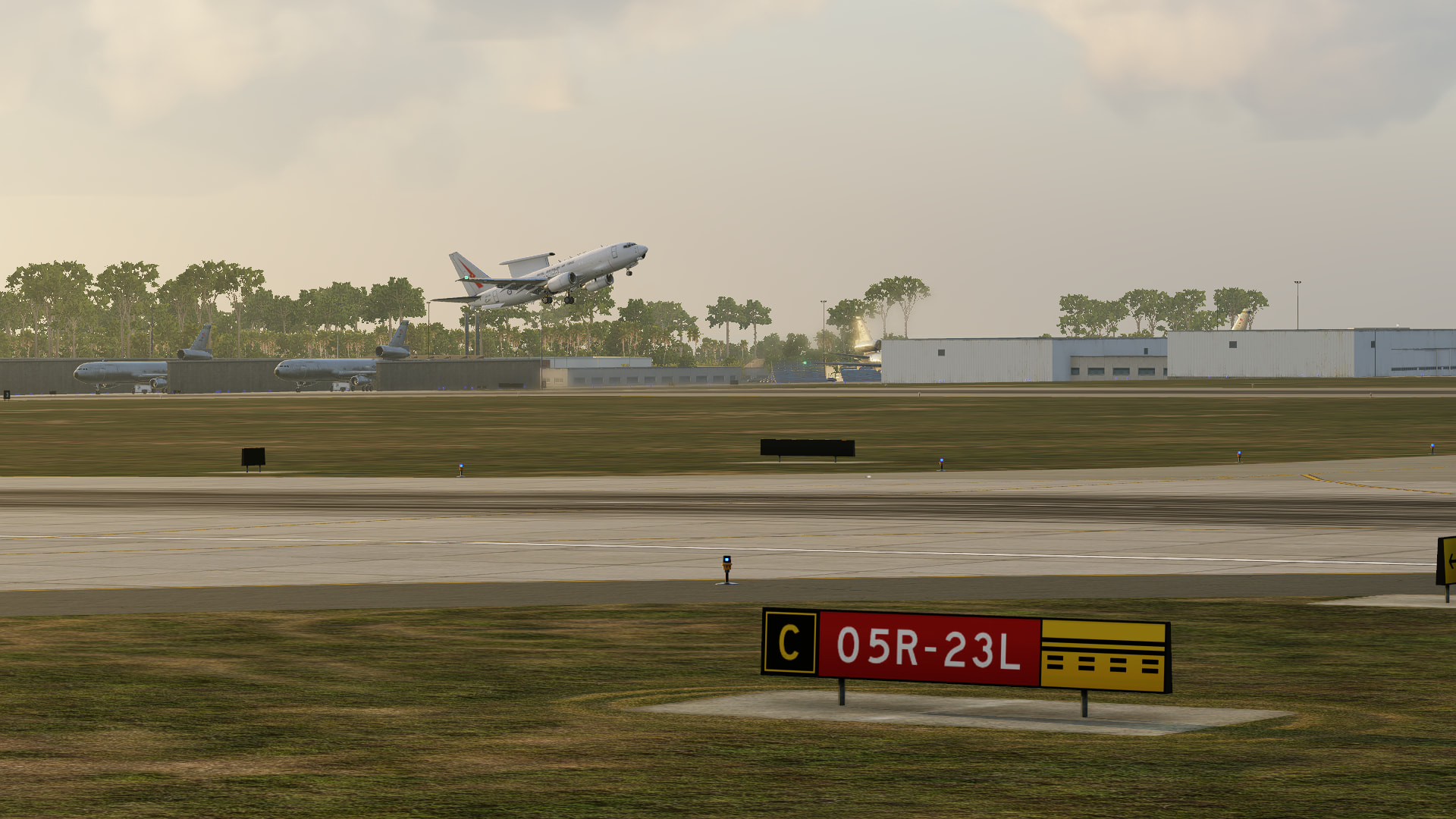
31/13, 9800 ft X 151 ft / 2987 m X 46 m
Elevation: 0 ft / 0 m

Inbuilds : Caelus Aerial Seychelles (FSIA) for MSFS-2020 – iniBuilds Store
SkyVector: FSIA - Seychelles Int Airport | SkyVector

Introduction:
Larue in French, is the international airport of the Seychelles located on the island of Mahé near the capital city of Victoria. The airport is the home base and the head office of Air Seychelles and features several regional and long-haul routes due to its importance as the gateway to a major international leisure destination.

The airport is 11 kilometres (6.8 mi) southeast of the capital and is accessible by the Victoria-Providence Highway. It forms part of the administrative districts of La Pointe Larue (terminal area), Cascade/Providence (in the North), and Anse aux Pins (in the south and military base).

The opening of the Seychelles International Airport took place on 20 March 1972 by Her Majesty Queen Elizabeth II. Wilkenair of Kenya had, however, already started a ferry service between Mombasa and Mahé via Diego Suarez in Madagascar and Astove Island (Seychelles) using a twin engine Piper Navajo the previous year. It operated to the Seychelles once a week. The first pilot to land at Seychelles airport was Tony Bentley-Buckle, who flew his private plane from Mombasa to Mahe via Moroni in March 1971 even before the airfield was complete. The flying time was 9 hours 35 minutes.

This was followed by East African Airways in November 1971 and Luxair in December of the same year. A BOAC Super VC10 was the first jet aircraft to land at Seychelles International Airport on 4 July 1971. At the time of the opening it had a 2987 m runway and a control tower. Ground handling and all other airport operations were carried out by the DCA (Directorate of Civil Aviation).

In 1972, John Faulkner Taylor and Tony Bentley-Buckle founded the first local aircraft company Air Mahé, which operated a Piper PA-34 Seneca between Praslin, Fregate, and Mahé Islands. This aircraft was later replaced by a Britten-Norman Islander. By 1974, over 30 airlines were flying to the Seychelles. Ground handling and all airport operations were being carried out by Aviation Seychelles Company, a company formed in 1973.

Apron and adjacent mountainConstruction works for the substantial expansion of the airport started in July 1980. Due to the continuous increase in passenger traffic, a terminal building was built that could cater for 400 more arriving and 400 more departing passengers at any time. Parking bays for up to six large aircraft were built and a parking area for five light aircraft.

In 1981, there was a gun battle at Seychelles International Airport, as British national Mike Hoare led a team of 43 South African mercenaries masquerading as holidaying rugby players in a coup attempt in what is known as the Seychelles affair. After their hidden weapons were discovered on arrival a skirmish ensued, with most of the mercenaries later escaping in a hijacked Air India jet.

2 Likes

LSGS – Sion Airport, Sion / Valais, Switzerland

ICAO: LSGS
SimFly category: 4
Pilot payout: 60%
Location: Rhone Valley, southwestern Switzerland – Google Maps location of Sion Airport
Runway(s):
07/25, 6,562 ft × 131 ft / 2,000 m × 40 m
07L/25R (grass), 1,820 ft × 98 ft / 600 m × 30 m
Elevation: 1,585 ft / 483 m

Flightsim.to: (No major full airport scenery listing found)
MSFS payware scenery: RedWing Simulations sells Sion (LSGS) scenery
XPlane gateway scenery: Investigate community version of “LSGS” in the X‑Plane Scenery Gateway
SkyVector: view charts and airspace around Sion
AirNav: use alternate global pilot info or AIP sources
Other Resources: Skybrary provides detailed operational and safety insights

Introduction:
Sion (LSGS) offers one of the more scenic and demanding approaches in the Alps. The airport resides in a narrow valley corridor, meaning aircraft often descend from higher terrain on final with limited room for error. The offset IGS localizer demands early capture and precise tracking. Because civil and military operations share the field, coordination is needed. Though modest in size, Sion supports instrument procedures, GA traffic, seasonal scheduled services, and full refueling (AVGAS/Jet A1). The scenery backdrop of towering alpine ridges, glacial foothills, and the Rhone valley makes it a favorite for pilots who enjoy mountain flying within the sim environment.

3 Likes

MMMT – Minatitlán / Coatzacoalcos International Airport, Veracruz, Mexico

ICAO: MMMT
SimFly category: 4
Pilot payout: 60%
Location: Southeastern Veracruz, serving the Minatitlán / Coatzacoalcos metropolitan area — Google Maps location
Runways:
01 – 6,890 ft × 148 ft / 2,100 m × 45 m
19 – 6,890 ft × 148 ft / 2,100 m × 45 m
Elevation: 36 ft / 11 m

Flightsim.to: No specific freeware scenery confirmed for MMMT
MSFS payware scenery: No dedicated commercial package currently available for MMMT
XPlane gateway scenery: No official scenery listed in the X-Plane Gateway for MMMT as of now
SkyVector: you can view IFR/VFR data and charts for MMMT on SkyVector (search “MMMT – Minatitlán Airport”)
AirNav: MMMT does not appear in U.S. AirNav, so it does not apply directly; however, data may be available through international equivalents
Other Resources: AIRMATE provides navigation data, coordinates, and approach charts; Universal Aviation offers ground handling services at MMMT

Introduction:
Minatitlán International Airport is the main air gateway for the southeastern region of Veracruz, serving both Minatitlán and Coatzacoalcos along with nearby areas. While not a large hub, it combines domestic commercial traffic with general aviation and executive flights. Its 2,100-meter runway 01/19 supports medium-sized aircraft operations. For flight sim pilots, MMMT offers an engaging experience due to its coastal location, which can bring low-lying terrain, high humidity, shifting coastal winds, and dynamic tropical weather. The airport is operated by ASUR and has been assigned Rescue and Firefighting category IX under Mexican aviation standards.

2 Likes

ESMS – Malmö Sturup Airport, Malmö / Skåne, Sweden

ICAO: ESMS
SimFly category: 4
Pilot payout: 60%
Location: Southern Sweden, near Malmö - Google Maps

Runways:
17/35, 9,186 ft × 148 ft / 2,800 m × 45 m
11/29, 2,621 ft × 59 ft / 799 m × 18 m
Elevation: 236 ft / 72 m

Details: SimFly | ESMS
Flightsim.to: Enhancement pack for Malmo (ESMS)
MSFS payware scenery: ESMS Malmö Airport - Microsoft Flight Simulator - Orbx
XPlane gateway scenery: X-Plane Scenery Gateway - Malmö Sturup
SkyVector: ESMS - Malmo Airport | SkyVector
Official site: Swedavia Airports - Malmö Airport
User review: PC review: Orbx Malmo ESMS 1.5.0

Introduction:
Malmö Sturup (ESMS) is a nicely featured regional international airport in southern Sweden, serving Malmö, Lund, and acting as a supplementary gateway for parts of Denmark via the Øresund Bridge. Its long main runway (17/35) makes it capable of handling medium jets and provides flexibility in mixed traffic operations. In MSFS, the payware rendition by Marcus Nyberg was updated in June 2025 and is fully MSFS 2024 compatible. It features a well modeled terminal, landside, and nicely weathered buildings, runways, taxiways, and aprons. Approaches into ESMS can be interesting in variable weather, with crosswinds often present from the Baltic/Öresund direction. For GA flyers, note there is a second runway measuring 2621 ft and dedicated to GA traffic.


1 Like

3 Likes

EDHI – Hamburg-Finkenwerder Airport, Hamburg, Germany

ICAO: EDHI
SimFly category: 4
Pilot payout: 60%
Location: Southwest Hamburg (Finkenwerder, on the Elbe)

Runway(s):
05 / 23 —> 10,443 ft × 148 ft / 3,183 m × 45 m
ILS + RNAV Available
Elevation: 23 ft / 7 m

Flightsim.to: EDHI – Airbus Hamburg (hand crafted) – detailed MSFS freeware scenery Flightsim.to (Very good quality freeware with no lag)
XPlane gateway scenery: EDHI on the X-Plane Gateway X-Plane Scenery Gateway
SkyVector: EDHI – Hamburg Finkenwerder Airport SkyVector page SkyVector
AirNav: (no AirNav U.S.-based listing since it’s in Germany; use OpenNav) EDHI on OpenNav OpenNav

Hamburg-Finkenwerder Airport (EDHI, IATA XFW) is a unique airport because it is deeply integrated into the Airbus final assembly plant in Hamburg. All A320-family aircraft assembled in Hamburg touch down and take off here, and even A380s have made deliveries from this airport.
Flying into EDHI gives you a window into the world of aircraft manufacturing: you’ll taxi past massive hangars, delivery centers, and assembly buildings. Approaches can be interesting because of the length of the concrete runway (over 3 km) and the industrial surroundings along the river Elbe.

4 Likes

:cloud_with_rain: :clipperton_island: LFRB – Brest Bretagne Airport, France

ICAO : LFRB
SimFly catégorie : 4
Payout pilote : 60%
Localisation : Guipavas, Brest – Bretagne :clipperton_island:

:airplane_arrival: Piste :

  • 07 / 25 — 3,100 m × 45 m
  • ILS + RNAV disponibles
  • Élévation : 325 ft

:sparkles: Description :

LFRB est la porte d’entrée de l’extrême Ouest. Sa longue piste de 3 km accueille facilement A330, A350, B777 et cargo long-courriers.
Les approches sont magnifiques avec les côtes bretonnes, l’Iroise, et une météo souvent dynamique (vent, pluie, plafond bas).
Un hub IFR robuste, idéal pour les vols moyen/long-courriers en conditions réelles.

4 Likes

:palm_tree: :france: TFFF – Martinique Aimé Césaire International, Antilles françaises

ICAO : TFFF
SimFly catégorie : 4
Payout pilote : 60%
Localisation : Le Lamentin, Martinique :france:

:airplane_arrival: Piste :

  • 10 / 28 — 3,158 m × 45 m
  • ILS CAT I + RNAV
  • Élévation : 16 ft

:sparkles: Description :

TFFF est l’un des plus beaux aéroports des Caraïbes. Capable d’accueillir A350 et B777 venant de métropole, il offre des approches spectaculaires au-dessus de la baie de Fort-de-France.
Climat tropical, relief environnant, météo variable : un terrain parfait pour vols longs transatlantiques et inter-îles.

4 Likes

:ocean: :new_caledonia: :france: NWWW – Nouméa La Tontouta International, Nouvelle-Calédonie

ICAO : NWWW
SimFly catégorie : 4
Payout pilote : 60%
Localisation : La Tontouta, Nouvelle-Calédonie :new_caledonia:

:airplane_arrival: Piste :

  • 11 / 29 — 3,351 m × 45 m
  • ILS + RNAV
  • Élévation : 52 ft

:sparkles: Description :

NWWW est un hub majeur du Pacifique Sud. Situé entre lagons turquoise et montagnes calédoniennes, il permet des vols vers l’Australie, le Japon et la Polynésie.
Les approches offrent des décors paradisiaques et des vents parfois surprenants.
Un terrain magnifique et technique pour vols long-courrier et océanique.

2 Likes

RODN - Kadena Air Base, Okinawa, Japan :japan:

ICAO: RODN
SimFly category: 4
Pilot payout: 60%
Location: Central Okinawa, Japan – Google Maps link
Runway(s):

05L / 23R: 12,100 ft × 299 ft (3,688 m × 91 m)

05R / 23L: 12,100 ft × 200 ft (3,688 m × 61 m)

Elevation: ~143 ft / 44 m

Flightsim.to: You can use default scenery
MSFS payware scenery: You can use default scenery
XPlane gateway scenery: [Link to XPlane gateway scenery, if available]
SkyVector: [Links to charts or airport info]
AirNav: [Links to charts or airport info]

Introduction:
Kadena Air Base (RODN) is a major U.S. Air Force installation on Okinawa, often referred to as the “Keystone of the Pacific” due to its strategic location. The base occupies significant land across Kadena, Chatan, and Okinawa City.

It has two very long parallel runways (~3,688 m each), capable of handling large military aircraft. The elevation is low (~143 ft), so density altitude is typically not a huge limiting factor.

4 Likes

LCRA - AKROTIRI AB Royal Air Force Base, Larnaka Cyprus :cyprus:

ICAO: LCRA
Simfly category: 3
Payout pilot: 60%
Location: Larnaka, Cyprus
Runway: 10/28

  • Aproaches ILS LOC/DME
  • Length and width 9006 x 200 ft (2745 x 61 m)
  • Elevation 76 ft

Free Scenario for MSFS 20/24 RAF Akrotiri - LCRA for Microsoft Flight Simulator | MSFS
Free Scenario for Xplane https://forums.x-plane.org/files/file/54110-europe_cyprus_lcra/

Description:

RAF Akrotiri is a midsized airport in Larnaka, Cyprus. The airport is located at latitude 34.59040 and longitude 32.98790. The airport has one runway: 10/28. The ICAO airport code of this field is LCRA. The airport’s IATA code is AKT. Nearby other airfields are Paphos International Airport, Kophinou Highway Strip, Kornos Highway Strip, Marki Airfield and Unmanned Systems Research Laboratory (USRL) Runway.

RAF Akrotiri publishes a METAR. The flight information region (FIR) is Nicosia.

RAF Akrotiri is in the timezone of Asia/Nicosia. Difference with UTC is +2 h. Today the sun rises at 06:29 and sets at 16:39. This applies to RAF Akrotiri, the universal daylight period may be different. The difference between the local time and UTC is +2 hour. Currently, there is no daylight saving time in effect.

3 Likes

PACV - Merle K. (Mudhole) Smith Airport, Cordova, Alaska, USA


ICAO: PACV
SimFly category: 3
Pilot payout: 60%
Location: Located in Cordova, Alaska, PACV serves as a key regional airport for the community and visitors. It’s set against the stunning backdrop of Prince William Sound and the Chugach Mountains, providing a challenging and scenic approach for pilots.

Google Maps link: Google Maps

Runway(s):

Runway 9/27 – 7500 x 150 ft / 2286 x 46 m / Asphalt / Runway 27 Precision Instrument in fair condition.
Runway 16/34 – 1934 x 30 ft / 589 x 9 m / Gravel
Elevation: 53 ft / 16.1 m

Flightsim.to: PACV

GSX Profile: PACV Cordova Alaska - DC Scenery Design

MSFS Payware Scenery: DC Scenery Design - PACV - Merle K. (Mudhole) Smith - Cordova, Alaska

XPlane Gateway Scenery: Merle K (Mudhole) Smith

ORBX: NA Alaska Mesh

SkyVector: Merle K (Mudhole) Smith Airport

AirNav: AirNav PACV Information

FAA: FAA Charts for PACV


Introduction

Merle K. (Mudhole) Smith Airport (PACV) is a regional gem located in Cordova, Alaska, known for its challenging weather and breathtaking scenery. The airport is a vital link for the local community, providing essential connections to other parts of Alaska and offering access to some of the most remote and scenic locations in the U.S. PACV is a popular destination for simulation pilots due to its location in the heart of the Alaskan wilderness. Pilots will face the challenges of variable weather conditions and mountainous terrain, which make approaches to this airport both technically demanding and rewarding. Whether you’re flying in MSFS or X-Plane, PACV offers an exciting opportunity to experience flying in one of the most picturesque and difficult regions of North America. The surrounding rugged mountains and stunning views of Prince William Sound make the approach to PACV as thrilling as it is beautiful.

2 Likes

EGXC – RAF Coningsby, Coningsby (Lincolnshire), Reino Unido

ICAO: EGXC
Categoría SimFly: 2

Ubicación: East Midlands / Lincolnshire, Inglaterra – Enlace de Google Maps
Pista(s):
07/25, 9002 pies × 200 pies / 2744 m × 61 m
Elevación: 24 pies / 7 m

SkyVector: SkyVector – Información del aeropuerto EGXC
AirNav: (No hay una página pública de AirNav dedicada para EGXC, ya que es una base militar)

Introduction: RAF Coningsby (EGXC) is one of the main bases of the UK’s Royal Air Force (RAF) and an attractive destination for flight simulation enthusiasts interested in military base operations. Located in Lincolnshire, this base is home to multiple front-line fast-jet squadrons and the Battle of Britain Memorial Flight, a historic aircraft display unit. With its long 07/25 (2,744 m) runway and high-intensity lighting, the airfield supports intensive military operations and is ideal for sim pilots seeking a “big runway” experience in the UK. The location offers interesting scenery across the rural Lincolnshire plains and the iconic Tattershall Castle, which is close to the airfield.

2 Likes

RJFU – Nagasaki Airport (長崎空港), Nagasaki, Japan :japan: :bell: :dove:

ICAO: RJFU
SimFly category: 4
Pilot payout: 60% - Best rate in Kyushu Area!
Location: Ōmura Bay (Nagasaki, Japan - Notable as the world’s first offshore airport!)

Runway(s): 14 / 32 —> 9,843 ft × 197 ft / 3,000 m × 60 m
ILS + RNAV Available
Elevation: 15 ft / 5 m

Flightsim.to: RJFU Nagasaki Airport Enhanced – detailed MSFS freeware scenery Flightsim.to (Very good quality freeware)
GSX Profile: GSX Profile RJFU (with Walk-in and De-ice) Flightsim.to
XPlane gateway scenery: RJFU on the X-Plane Gateway X-Plane Scenery Gateway
SkyVector: RJFU – Nagasaki Airport SkyVector page SkyVector
AirNav: (International) RJFU on OpenNav OpenNav

Nagasaki Airport (RJFU, IATA NGS) is historically significant as the world’s first true offshore airport, constructed on reclaimed land around the tiny island of Mishima in Ōmura Bay. Connected to the mainland by a 970-meter bridge, the airport offers a visually stunning approach over water. Flying into RJFU provides a scenic blend of sea and mountains typical of the Kyushu region. The approach to Runway 32 is particularly popular for its over-water final, while the airport itself serves as a critical hub connecting the remote islands of Nagasaki Prefecture with major Japanese cities.

4 Likes

VDPP - Phnom Penh International Airport - Cambodge :cambodia:

ICAO: VDPP
SimFly category: 4
Pilot payout: 60%
Location: Phnom Penh, Cambodia :cambodia: - Google Maps

Runway(s): 05/23 - 9,840ft × 160ft (2960 m × 48 m)
Elevation: 12 m / 40 ft
ILS (23) + RNAV Available

Flightsim.to: https://flightsim.to/file/39027/phnom-penh-international-airport
GSX Pro: VDPP Phnom Penh International Airport (MFSG) | GSX Profile for Microsoft Flight Simulator | MSFS

Introduction:
Phnom Penh International Airport (IATA: PNH, ICAO: VDPP), formerly Pochentong International Airport, was an international airport in Cambodia and served as the country’s main international gateway. It was Cambodia’s second largest airport by area after the new Siem Reap–Angkor International Airport before its closure.
It is located in the Pou Senchey District, 10 kilometres (5.4 NM) west of Phnom Penh, the nation’s capital.
(The airport was replaced by the new Techo International Airport on 9 September 2025 - but still available in MSFS)


2 Likes

Welcome to Isle of Man Airport

General Information

  • ICAO: EGNS
  • IATA: IOM
  • Payout pilot: 60%
  • Location: Ronaldsway, Malew, Isle of Man — southern part of the island, near Castletown, approximately 11 km (6.9 miles) southwest of the capital, Douglas.
  • Elevation: 52 ft above sea level
  • Website: airport.im Wikipedia+1

Runways & Infrastructure

According to published data:(Isle of Man Airport - Wikipedia)

Runway Designation Length Surface
Main 08/26 2,110 m Asphalt / Concrete Wikipedia
Secondary 03/21 1,255 m Asphalt Wikipedia

Operations & Services

  • Isle of Man Airport is the main civilian airport serving the Isle of Man. Wikipedia+1
  • Airlines operating include (among others) Loganair, easyJet, and Aer Lingus. Aeropuertos del Mundo+1
  • Passenger traffic (2024): ~ 652,274 passengers Wikipedia+1
  • Aircraft movements (2024): ~ 15,512 movements Wikipedia

History (Summary)

  • The airport was first used as an aerodrome in 1929, with passenger services starting in the early 1930s. Wikipedia+1
  • Its role has evolved over time, including periods of military use during WWII, before returning to civil use after the war. Wikipedia+1

Flight-Sim / Scenery Add-ons

If you are interested in exploring Isle of Man Airport in a flight simulator (e.g. Microsoft Flight Simulator), here are some relevant scenery/map packages available for download:

2 Likes